Defense Geospatial Information Agency "Division General Constantin Barozzi"
Ministry of National Defense

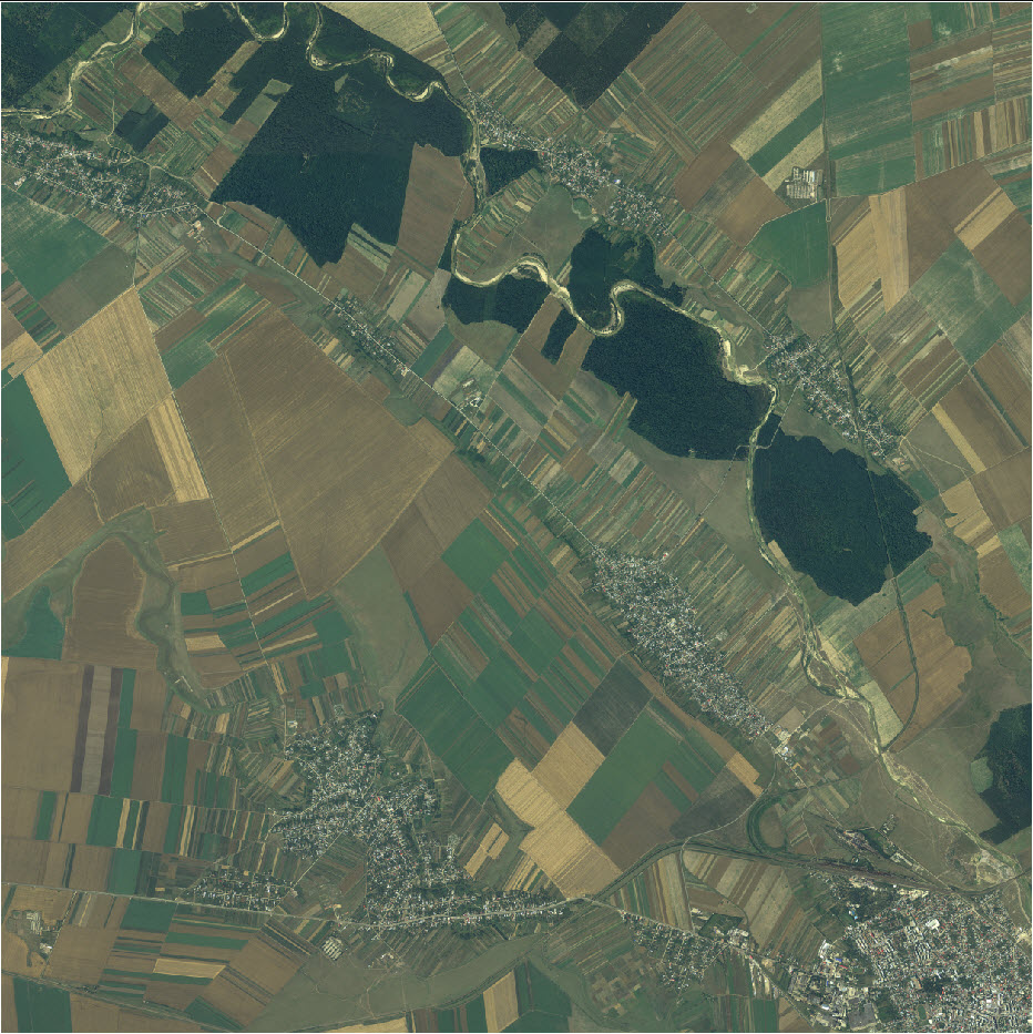
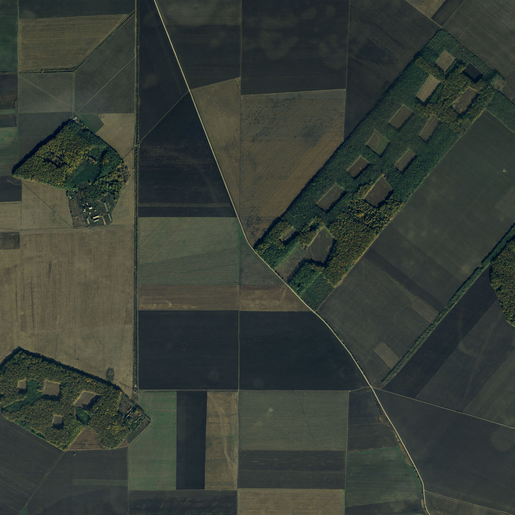
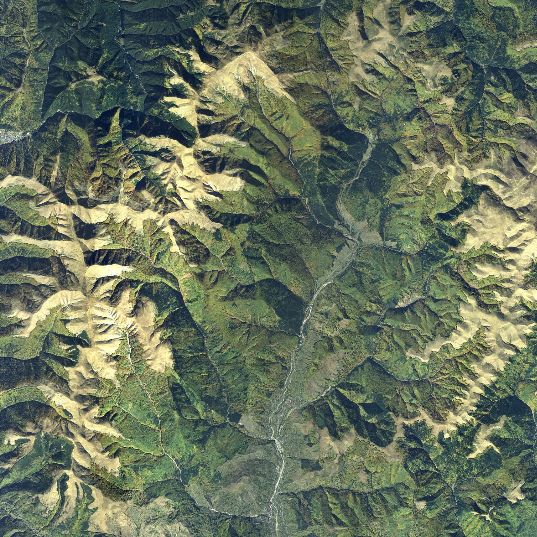
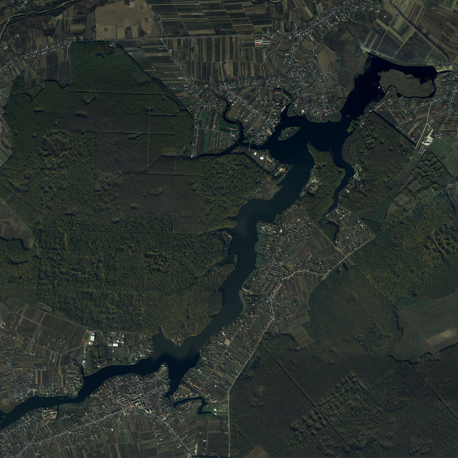
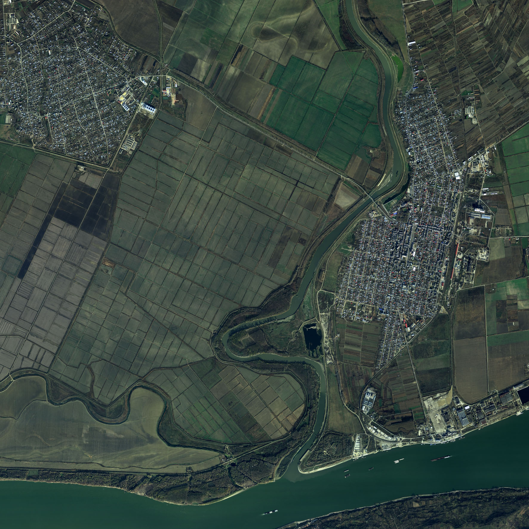
Orthoimages UTM 35 RGB
Map type: Orthorectified aerial imagesProduct name: Orthorectified aerial images with a resolution of 50 cm, edition I (2010-2013)
Technical details
The coordinate system in which they were created: WGS84
Projection: UTM35
Format: MrSid
Spectral bands: RGB
Approximate ground dimensions corresponding to a map sheet: 10 x 10 km
Planimetric accuracy: less than 1 m
1687
Number of sections
8
Color depth (bits)
57
Maximum file size (MB)
Description / Method of acquisition
The product was created between 2010-2013 through aerial photography using the Leica ADS80 digital photogrammetric system mounted on an Antonov 30 aircraft.
The stages of production were as follows:
- Configuration of photogrammetric blocks based on the relief forms of our country;
- Planning of the photogrammetric flight using the Flight Planning & Evaluation Software (FPES) version 10.1.0.5 and finalization of the photogrammetric block shapes;
- Design of the reference points layout (control and verification points);
- Measurement of reference points using the static method with geodetic GPS receivers for 45 minutes and processing the observations to obtain the coordinates of these points;
- Creation of topographic descriptions for the reference points, which include the coordinates of the measured point, the image on the orthophotomap, a field photograph, a sketch made on-site, and a brief description;
- Downloading the data obtained after the aerial photography process using the ADS 80 Downloader module of the XPro application, version 5.0.1;
- Processing the data recorded by the airborne GPS receiver and the inertial measurement unit (IMU) with the IPAS TC application, version 3.0.1, using data from permanent GPS stations to determine the precise trajectory of the aircraft during the flight;
- Generating L0 format images using the Data Preparation module of the XPro application, version 5.0.1, with IPAS solutions;
- Creating radiometric profiles using the QC Viewer module of the XPro application, version 5.0.1, separately for RGB and CIR spectral band combinations;
- Preparing blocks for aerotriangulation using the Block Preparation module of the XPro application, version 5.0.1. Within a block, the following were included:
- Aerial photographs;
- A digital elevation model for the area (5m resolution);
- A list of reference points (control and verification).
- The aerotriangulation process was carried out using the Triangulation module of the XPro application, version 5.0.1;
- Generating L2 format images (orthorectified images) was carried out with the Rectifier module of the XPro application, version 5.0.1, using:
- Previously created radiometric profiles;
- The triangulation results;
- The 5m resolution digital elevation model.
- Orthorectified band mosaicking was performed using the Orthovista application, version 4.5.3;
- Conversion of sections of orthorectified images into various formats;
- Technical quality control.
Dataset