Defense Geospatial Information Agency "Division General Constantin Barozzi"
Ministry of National Defense

Military Topographical Maps at a scale of 1:50,000 UTM - axis 35
Map type: Military topographic maps 1:50,000Product name: Military Topographical Maps at a scale of 1:50,000

Technical details
472
Map sheets
8
Color depth (bits)
43
Maximum file size (MB)
472
Map sheets
400
Scanning resolution (dpi)
Attribute table description
The attribute table contains the following fields:
| # | Field name | Description |
|---|---|---|
| 1 | Nomenclatură | nomenclature of the map sheet |
| 2 | Ediție | ediția foii de hartă |
Description / Method of acquisition
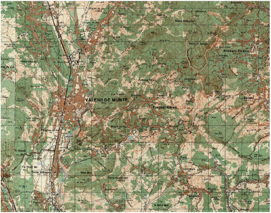
The 1:50,000 scale military topographic map was produced in four editions, the first of which was created by generalizing the content of the first edition of the 1:25,000 scale topographic map, while the subsequent editions were produced through the updating process.
The map sheets measure 20' in latitude and 30' in longitude. The rectangular grid is drawn every 2 cm, and the geographic frame is marked every minute.
The contour line interval is 10 meters in lowland and hill areas and 20 meters in mountain areas. The accuracy of the map elements is 0.5 mm planimetrically and 2.5 m altimetrically in lowland areas, 0.6 mm planimetrically and 5 m altimetrically in hill areas, and 0.9 mm planimetrically and 10 m altimetrically in mountain areas.
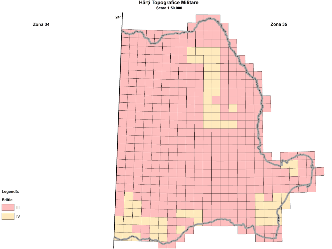
Immediately after the completion of the second edition of the 1:50,000 scale topographic maps, the update of the first edition of the 1:25,000 scale maps began. Therefore, the third edition initially involved updates based on the second edition of the 1:25,000 scale maps. However, nationwide topographic work conducted after printing, along with major observed differences, led to the updating and reprinting of approximately half of the map sheets of the third edition.
The fourth edition of the 1:50,000 scale military topographic maps was produced for only 137 nomenclatures out of a total of 738, based on the third edition of the 1:25,000 scale maps, between 1987 and 1993.