Defense Geospatial Information Agency "Division General Constantin Barozzi"
Ministry of National Defense

Military Topographical Maps at a scale of 1:200,000 UTM - axis 35
Map type: Military topographic maps 1:200,000Product name: Military Topographic Maps at a scale of 1:200,000

Technical details
38
Map sheets
8
Color depth (bits)
42
Maximum file size (MB)
38
Map sheets
400
Scanning resolution (dpi)
Attribute table description
The attribute table contains the following fields:
| # | Field name | Description |
|---|---|---|
| 1 | Nomenclatură | nomenclature of the map sheet |
| 2 | Ediție | ediția foii de hartă |
Description / Method of acquisition
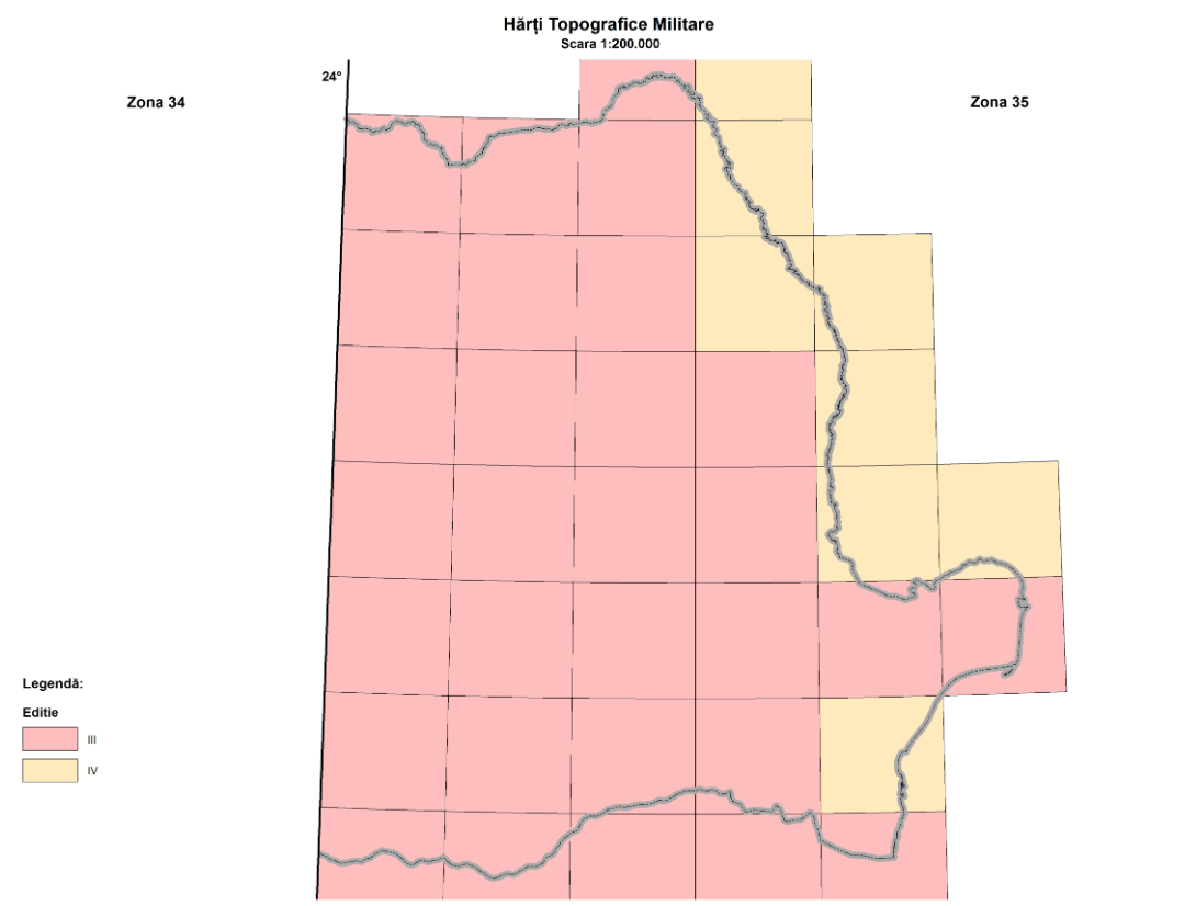
The 1:200,000 scale military topographic map was produced in four editions, simultaneously with the completion of the 1:100,000 scale maps.
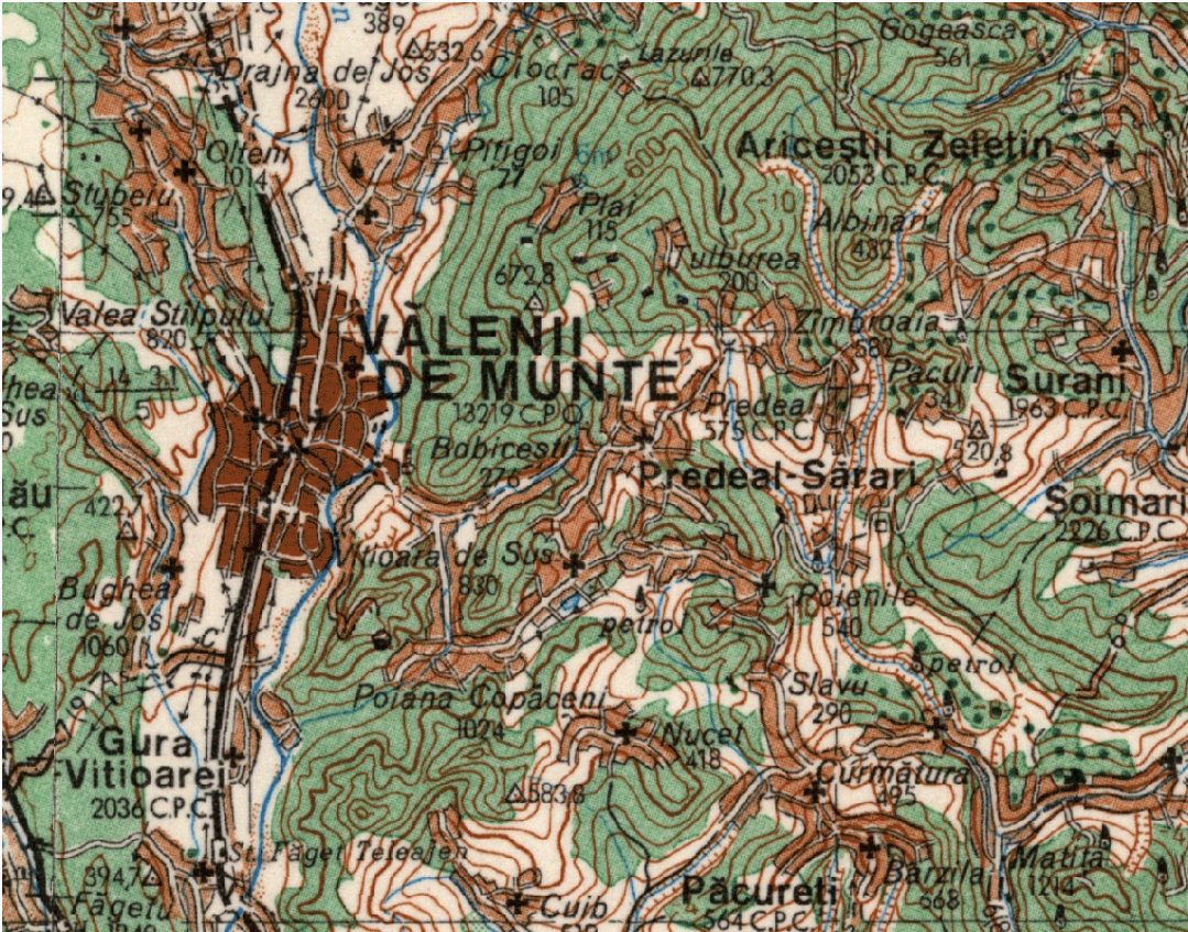
The map sheets measure 40' in latitude and 1° in longitude. The rectangular grid is drawn every 4 cm, and the geographic frame is marked every minute.
The contour line interval is 40 meters in lowland and hill areas and 80 meters in mountain areas. The positional accuracy of details and contours in relation to their length on cartographic materials is ±0.2 mm. To enhance the terrain representation, contour lines may be displaced relative to their cartographic position: up to ¼ of the normal contour interval in lowland regions and up to ½ in mountainous regions.
The third edition involved a complex and lengthy process, consisting of updates based on the third edition of the 1:100,000 scale map, as well as topographic work carried out over 11 years (1980-1990). It is also the last complete edition at this scale.
Out of a total of 62 map sheets, only 9 were subsequently updated through topographic work between 1992 and 1997. These 9 sheets constitute the fourth edition.