Defense Geospatial Information Agency "Division General Constantin Barozzi"
Ministry of National Defense

Military Topographical Maps on a scale of 1:500,000 Stereo 70
Map type: Military topographic maps 1:500,000Product name: Military Topographical Maps at a scale of 1:500,000
Technical details
14
Map sheets
8
Color depth (bits)
60
Maximum file size (MB)
14
Map sheets
400
Scanning resolution (dpi)
Attribute table description
The attribute table contains the following fields:
| # | Field name | Description |
|---|---|---|
| 1 | Nomenclatură | nomenclature of the map sheet |
| 2 | Ediție | ediția foii de hartă |
Description / Method of acquisition
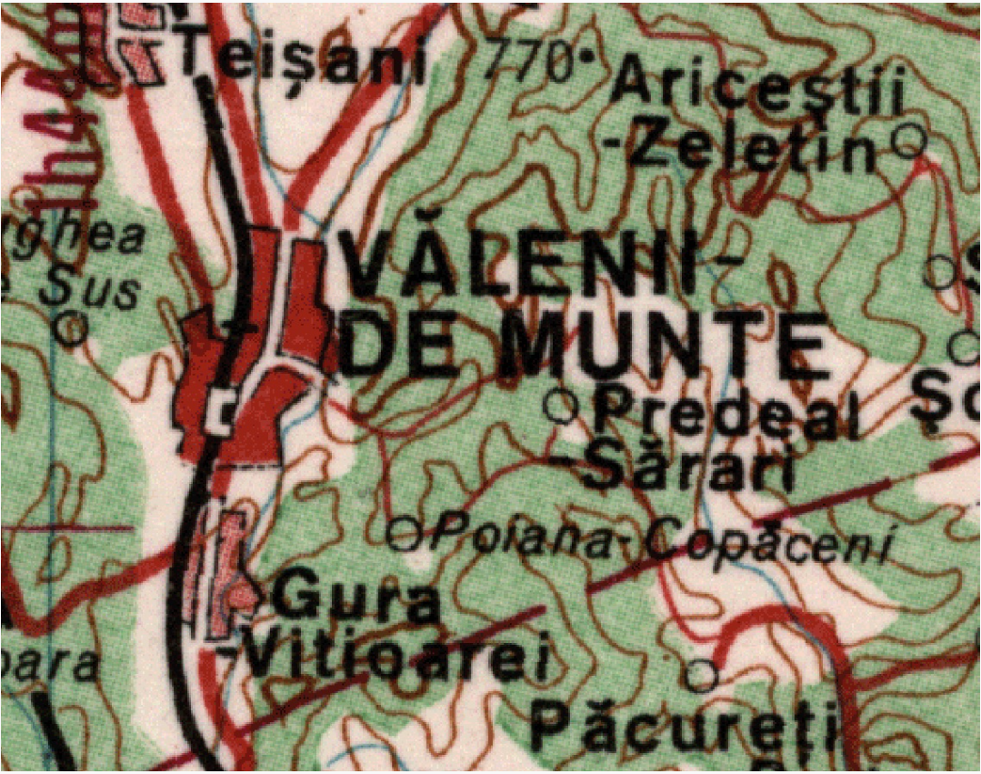
The 1:500,000 scale military topographic maps are the only ones that cover the entire country for all editions.
The map sheets measure 2° in latitude and 3° in longitude. Between the ornamental and geographic frames, the rectangular grid intersections are represented every 2 cm.
The contour line interval is 50 meters from sea level up to 1,000 meters in altitude and 100 meters above 1,000 meters. The positional accuracy of details and contours in relation to their length on cartographic materials is ±0.2 mm. To enhance terrain representation, contour lines may be displaced relative to their cartographic position: up to ½ of the normal contour interval in lowland regions and up to a full contour interval in mountainous regions.
For the third edition, between 1975 and 1987, map sheets were updated based on the third edition of the 1:200,000 scale map, while topographic work was carried out between 1987 and 1990. Using the "recently collected" data, the final cartographic refinements were made in parallel. After 1990, the last edition for the 1:500,000 scale was printed.