Defense Geospatial Information Agency "Division General Constantin Barozzi"
Ministry of National Defense

Military Topographical Maps on a scale of 1:1,000,000 Stereo 70
Map type: Military topographic maps 1:1.000.000Product name: Military Topographical Maps on a scale of 1:1,000,000

Technical details
6
Map sheets
8
Color depth (bits)
61
Maximum file size (MB)
6
Map sheets
400
Scanning resolution (dpi)
Attribute table description
The attribute table contains the following fields:
| # | Field name | Description |
|---|---|---|
| 1 | Nomenclatură | nomenclature of the map sheet |
| 2 | Ediție | ediția foii de hartă |
Description / Method of acquisition
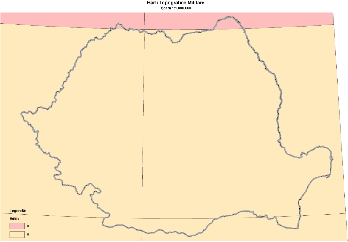
The 1:1,000,000 scale military topographic maps were produced in three editions by generalizing cartographic elements from the 1:500,000 scale maps. The country's surface is covered by six nomenclatures, which was also the number of map sheets produced in the first two editions. The final edition included only four map sheets, yet these still covered over 90% of the national territory.
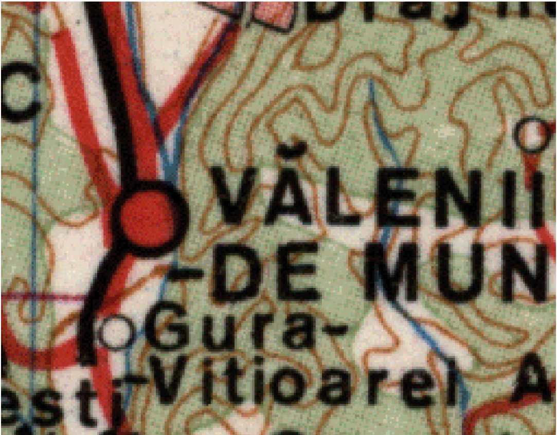
The map sheets measure 4° in latitude and 6° in longitude. Unlike other scales, the 1:1,000,000 maps do not feature a rectangular grid.
The contour interval is 50 meters from sea level up to 400 meters in altitude, 100 meters from 400 to 1,000 meters, and 200 meters above 1,000 meters. The positional accuracy of details and contours in relation to their length on cartographic materials is ±0.2 mm. To enhance terrain representation, contour lines may be displaced relative to their cartographic position: up to ½ of the normal contour interval in lowland regions and up to a full contour interval in mountainous regions.
The second edition was produced in two stages: nomenclatures K-34, K-35, L-34, and L-35 were completed between 1975 and 1977, while M-34 and M-35 were completed in 1989 and 1991, respectively. The latter were created alongside the third edition of the first four nomenclatures (1989-1991), which explains why the final edition consists of an incomplete number of map sheets.
Topographic work was only carried out for the last edition, while the previous ones were produced and updated using 1:500,000 scale maps and earlier editions.