Defense Geospatial Information Agency "Division General Constantin Barozzi"
Ministry of National Defense


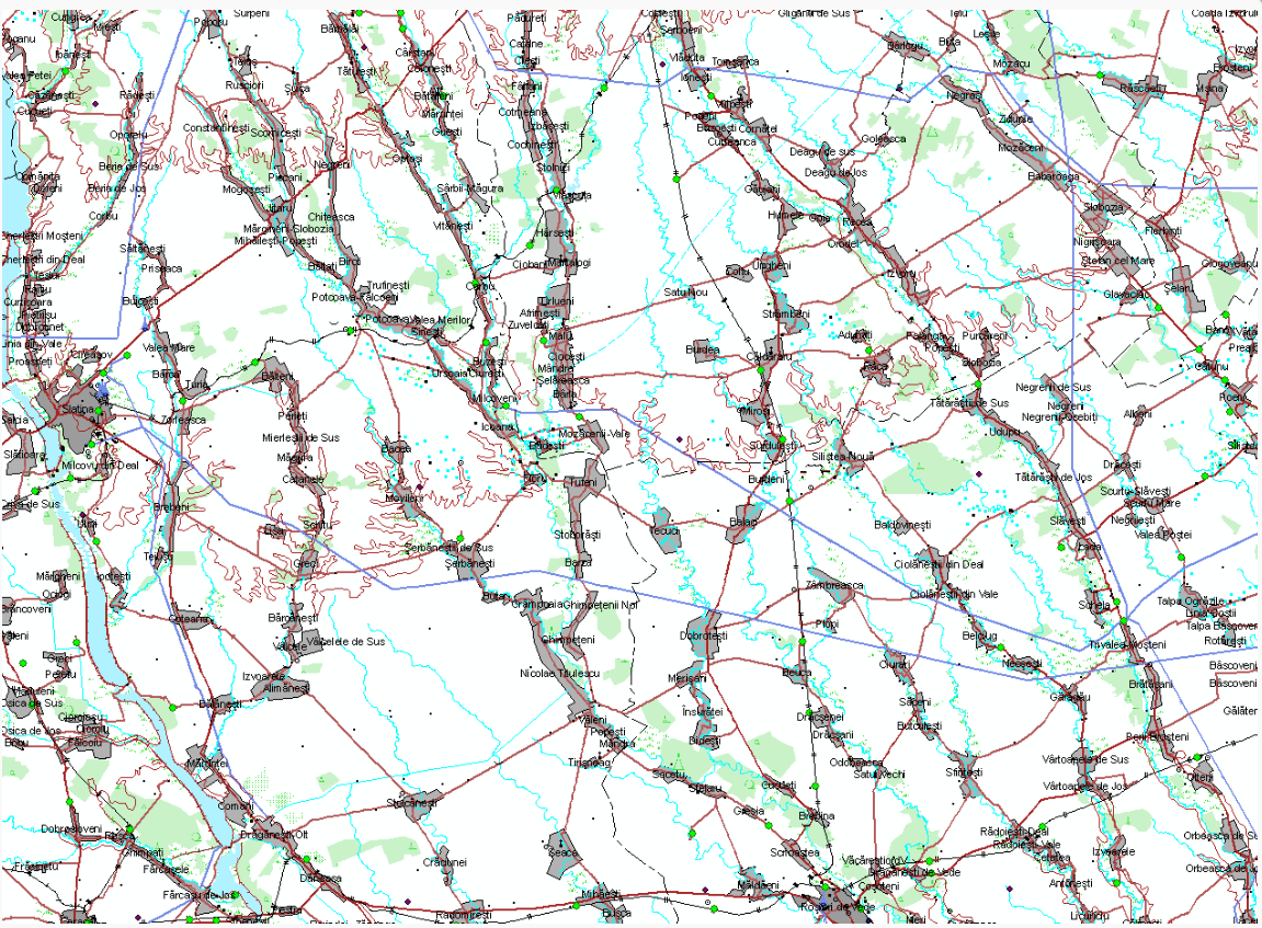
VMAP1
Map type: Vector dataProduct name: VMAP geospatial database level 1

Technical details
The coordinate system in which they were created: Geographic, WGS84
Projection: geographic coordinates
Format: ESRI Geodatabase
643
Maximum file size (MB)
Description / Method of acquisition
The work began in 2007 and followed these stages:
- Scanning and georeferencing of the maps for joint operations (JOG AIR) at a scale of 1:250,000, 4th edition.
- Generation of geospatial databases according to the VMAP Level 1 schema, in ESRI geodatabase format.
- Collection of geographic information in a geospatial database format, in compliance with the NATO standards in force. The data collection phase for the geographic database was completed in 2008.
- In 2010, the process of updating the databases began, using aerial photogrammetric records.
The data is organized into 130 layers and grouped into 9 thematic categories:
- Boundaries (Administrative Boundaries)
- Elevation (Topographic Features)
- Hydrography (Water Bodies)
- Industry (Industrial Features)
- Physiography (Relief Features)
- Population (Population Data)
- Transportation (Transport Infrastructure)
- Utilities (Utility Networks)
- Vegetation (Vegetation and Land Cover)
Dataset
Content layers
Database organization, by layers and by layer attributes: according to VMAP Level 1 product specifications.
Referinţă: US MIL-PRF-89033 - Vector Map (VMap) Level 1
Referinţă: US MIL-PRF-89033 - Vector Map (VMap) Level 1