Defense Geospatial Information Agency "Division General Constantin Barozzi"
Ministry of National Defense


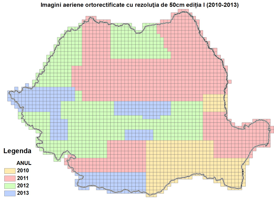
Grid of Orthorectified Aerial Images
Map type: IndexProduct name: Grid of Orthorectified Aerial Images with 50 cm Resolution, Edition I (2010-2013)
Technical details
The coordinate system in which they were created: 1942 Coordinate System
Projection: Stereo 1970
Format: shapefile
2543
Number of sections
581
Maximum file size (MB)
Description / Method of acquisition
The grid contains the outlines of photogrammetric image sections at the national level.
The grid was created by drawing kilometric grid lines that divide the national territory into square sections measuring 10 x 10 km. This division starts from coordinate 130000, increasing eastward, and coordinate 760000, decreasing southward.
The name of each section is determined by the first two digits of the stereographic projection coordinates of the top-left corner of the section.