Defense Geospatial Information Agency "Division General Constantin Barozzi"
Ministry of National Defense

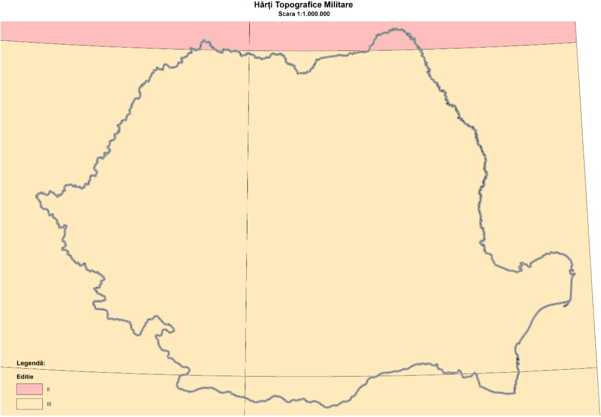
Grid of Military Topographic Maps at a 1:1,000,000 Scale, Stereo 1970
Map type: IndexProduct name: Grid of Military Topographic Maps at a 1:1,000,000 Scale
Technical details
The coordinate system in which they were created: 1942 Coordinate System
Projection: Stereo 1970
Format: shapefile
6
Number of sections
21
Maximum file size (MB)
Attribute table description
The attribute table contains the following fields:
| # | Field name | Description |
|---|---|---|
| 1 | Nume | denumirea secțiunii |
| 2 | Ediție | ediția foii de hartă |
Description / Method of acquisition
The grid contains the contours of the sections of the military topographic maps at a 1:1,000,000 scale at the national level.
The grid was obtained by drawing geographic grid lines that divide the national territory into sections with sides of 4° latitude and 6° longitude on the Krasovsky ellipsoid.
Each map sheet is uniquely determined by its nomenclature.