Defense Geospatial Information Agency "Division General Constantin Barozzi"
Ministry of National Defense

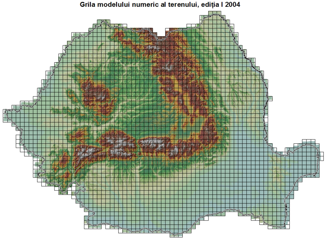
Grid of the Digital Terrain Model
Map type: IndexProduct name: Grid of the Digital Terrain Model, Edition I (2004)
Technical details
The coordinate system in which they were created: Coordinate System 1942
Projection: Stereo 1970
Format: shapefile
2568
Number of sections
497
Maximum file size (MB)
Attribute table description
The attribute table contains the following fields:
| # | Field name | Description |
|---|---|---|
| 1 | Nume | denumirea secțiunii |
| 2 | Acc_rel_H | precizia orizontală relativă, în metri |
| 3 | Acc_rel_V | precizia verticală relativă, în metri |
| 4 | Acc_abs_H | precizia orizontală absolută, în metri |
| 5 | Acc_abs_V | precizia verticală absolută, în metri |
Description / Method of acquisition
The grid contains the contours of the sections of the Digital Terrain Model, both with a resolution of 25m and 75m, at the national level.
The grid was obtained by drawing kilometer grid lines that divide the national territory into square sections of 10 x 10 km, starting with the coordinate 130000 increasing eastward and the coordinate 760000 decreasing southward.
The name of a section is given by the first 2 digits of the coordinates in the stereographic projection of the top-left corner of the section.